
 Datasets on this page are licensed under a Creative Commons Attribution-NonCommercial-ShareAlike 4.0 International License.
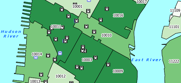
The NYC Geodatabase (nyc_gdb) is a resource designed for mapping and analyzing city-level features and data in GIS. The database comes in two formats: a Spatialite geodatabase built on SQLite that can be used in open source software like QGIS and the Spatialite GUI, and a personal geodatabase built on MS Access that can be used in ArcGIS.
The contents of the databases are identical and include geographic features and statistical areas from the US Census Bureau, transit and public facility point features from the City, and census data at the PUMA, ZIP / ZCTA, and census tract levels. All features share a common coordinate system: NAD 83 NY State Plane Long Island (feet). The databases are updated bi-annually each winter and summer.
Sample Maps Created Using the Database:
| New Yorkers who take Public Transit to Work | Affordable College Housing in Lower Manhattan | Walking Distance to the Nearest Subway | Healthcare Establishments as % of Total Businesses |
NYC Geodatabase - Latest Version (January 2020)
For previous versions of the database see the NYC Geodatabase Archive.
If you are using QGIS 3.x and Spatialite and some layers are not rendering, read this post.
| Name | File Type | Download |
|---|---|---|
| nyc_gdb for QGIS (Spatialite version) | sqlite | nyc_gdb_jan2020a.zip |
| Introduction and tutorial (Spatialite version) | intro_nycgdb_foss.pdf | |
| nyc_gdb for ArcGIS (MS Access version) | mdb | nyc_gdb_jan2020b.zip |
| Introduction and tutorial (MS Access version) | intro_nycgdb_arc.pdf | |
| Data dictionary | datadiction_jan2020.pdf | |
| Metadata | xml | nyc_gdb_jan2020.xml |
| SQL Exercises | txt | sql_exercises.txt |
 | ||
Disclaimer: Every effort was made to insure that the data, which was compiled from public sources, was processed accurately. The creator, Baruch College, and CUNY disclaim any liability for errors, inaccuracies, or omissions that may be contained therein or for any damages that may arise from the foregoing. Users should independently verify the accuracy of the data for their purposes.