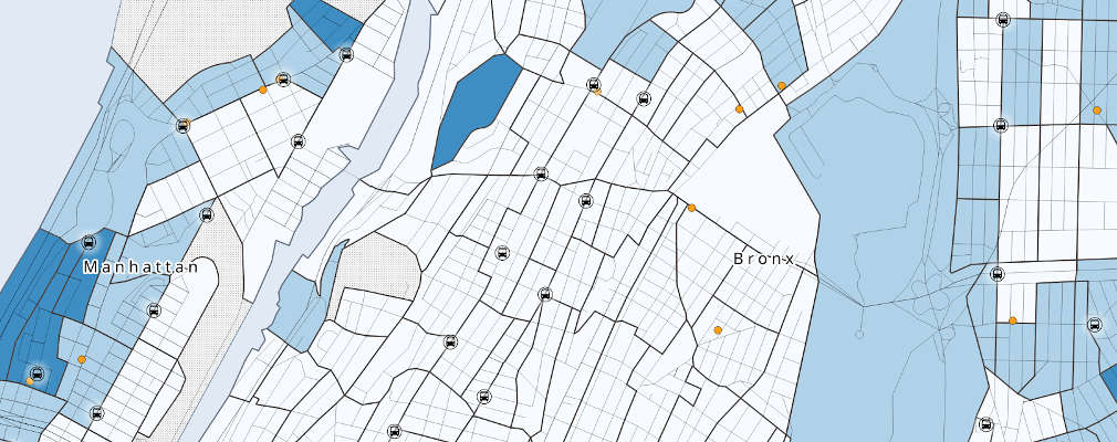
The GIS Lab at the Baruch College library is offering two remote workshops via Zoom on Fridays during the Fall 2020 semester: a self-directed Intro to GIS workshop using QGIS and an introductory presentation and demonstration on US census data. Details for the sessions are below.
Advance registration is required, and is limited to current: Baruch College undergraduates (including Macaulay Honors affiliates), CUNY graduate students, and CUNY faculty and staff. Participants must be completely comfortable with using Zoom (tech support cannot be provided by the instructor).
Frank Donnelly is the Geospatial Data Librarian at Baruch and is the instructor for these series. He is the author of Exploring the US Census: Your Guide to America's Data, and has introduced over 400 people to GIS through his day-long workshop series.
Introduction to QGIS: A Self-directed Workshop
PLEASE NOTE: Registration for this workshop is closed, all seats have been filled
Do you have a research question that you'd like to envision geographically? Maybe you'd like to study neighborhoods to target a market or measure the distribution of public services. Or perhaps you want to visualize various resources or socio-economic and demographic characteristics across the country or around the world. Have you ever wanted to add a map to a report or presentation, but couldn't find one that suits your needs?
This introductory workshop showcases the basic and fundamental principles of using geographic information systems (GIS) to process geospatial data, conduct geographical analyses, and create maps using the free and open source QGIS software package. In this remote and self-directed series, participants will attend an introductory GIS presentation and orientation session via Zoom, and then will spend one week working through exercises in a comprehensive GIS workbook. The workbook includes clear step-by-step instructions with screenshots, and separate commentary that explains each task. Halfway through the week, participants can attend an optional drop-in session for assistance with the material, and at the end of the week the series concludes with a second Zoom session to summarize what we have learned, demonstrate free sources of GIS data, and provide participants with the opportunity to ask specific questions that pertain to their own research projects.
Dates
- Friday Oct 16 and Oct 23: 10am-11:30am (optional drop-in sessions Tue Oct 20)
For full details and to register, visit: https://guides.newman.baruch.cuny.edu/gis/intro_qgis_remote
Introduction to US Census Data
How many people live in my neighborhood? How many Americans have a college degree? Which counties have the highest percentage of public transit users? What is the composition of the population or labor force by age and sex for my city or town? These questions and many more can be answered by the census. More than just a ten-year population count, the US Census is a vast ecosystem of datasets that can be used for describing places and groups of people. Understanding how the census is organized and knowing which sources to use are the keys for unlocking these valuable datasets.
This remote Zoom session includes a presentation that provides a conceptual overview of the census, so you can learn to choose the best data and sources for answering your specific research questions, and live demonstrations of several publicly available tools for accessing data. Basic sources for looking up stats and getting a broad profile for an area, as well as more advanced tools like data.census.gov for generating detailed comparison tables, will be demonstrated. Participants will have the opportunity to ask specific questions related to their research.
Dates
- Friday Oct 2: 10am-11:30am
- Friday Nov 20: 10am-11:30am
For full details and to register, visit: https://guides.newman.baruch.cuny.edu/gis/intro_census_remote

