
 Datasets on this page are licensed under a Creative Commons Attribution-NonCommercial-NoDerivatives 4.0 International License.
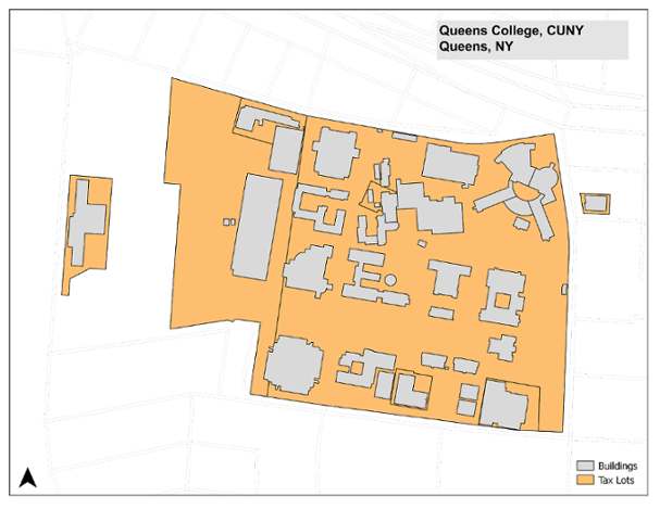
The datasets on this page were produced by the GIS Lab at the Newman Library of Baruch College, CUNY using data from the City of New York. The features represent the City University of New York (CUNY)'s campus properties (tax parcels) and buildings. The polygon layers were created in NAD83 / NY Long Island (ft US) and are intended for use by researchers, policy makers, students, and educators for basic geographic analysis and mapping purposes.
CUNY Campus Facilities, 2015
| Name | Features | File Type | Download | Metadata |
|---|---|---|---|---|
| CUNY Campus Buildings | polygons | shapefile | cuny_buildings_2015.zip | XML |
| CUNY Campus Tax Lots | polygons | shapefile | cuny_tax_lots_2015.zip | XML |
Disclaimer: Every effort was made to insure that the data, which was compiled from public sources, was processed accurately. The creator, Baruch College, and CUNY disclaim any liability for errors, inaccuracies, or omissions that may be contained therein or for any damages that may arise from the foregoing. Users should independently verify the accuracy of the data for their purposes.