Resources on this page are licensed under a Creative Commons Attribution-NonCommercial-NoDerivatives 4.0 International License
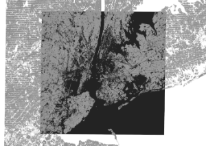
This tutorial is an extension of the introductory GIS Practicum; it focuses on the fundamentals of working with raster data in QGIS and includes: retrieving raster data and metadata, using the raster calculator, clipping, extracting statistics, converting rasters to vectors, and styling. The examples use temperature and land use and land cover data for NYC. This edition was written for QGIS 3.10 A Coruna, which is currently the long term release of QGIS. The LTR and latest releases can be downloaded from the The QGIS website.
Anyone is welcome to use this tutorial for personal or classroom use under a Creative Commons BY-NC-ND license. However, you may not copy and re-host this material on another website.
Fundamentals of Raster Analysis in QGIS 3.10 For QGIS 3.10 (May 2020) |


