| Info |
|---|
 Image Removed Image Removed  Image Added Datasets on this page are in the public domain. They are not copyrighted and can be used for any purpose. Image Added Datasets on this page are in the public domain. They are not copyrighted and can be used for any purpose. |
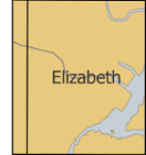
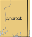
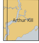
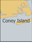
Digital Raster Graphics are scanned and georeferenced USGS topographic maps that depict elevation, depth, landmarks, and place names. These DRGs are updated infrequently and are not intended to reflect the contemporary built landscapecontemporary; these maps were created in 1966 and updated in 1979. They are suitable as basemaps and as reference maps for georeferencing other layers. The DRG's for download on this page are at a 1:24,000 scale and are in UTM 18 NAD 1927. These files are in the public domain and can be freely copied and used.
Click on a grid cell below to download the DRG for a particular area in the NYC metro area. The files are in a tiff image format. Looking for DRG's outside this area? You can download them from the Libre Map Project.