You are viewing an old version of this page. View the current version.
Compare with Current
View Page History
« Previous
Version 11
Next »
Datasets on this page were produced by China Marketing Research Co. Ltd as part of the University of Michigan China Data Center Statistical series. The files consist of administrative boundaries, data associated with those boundaries, and major geographical features. If you use this data, you must cite UM CDC as the source.
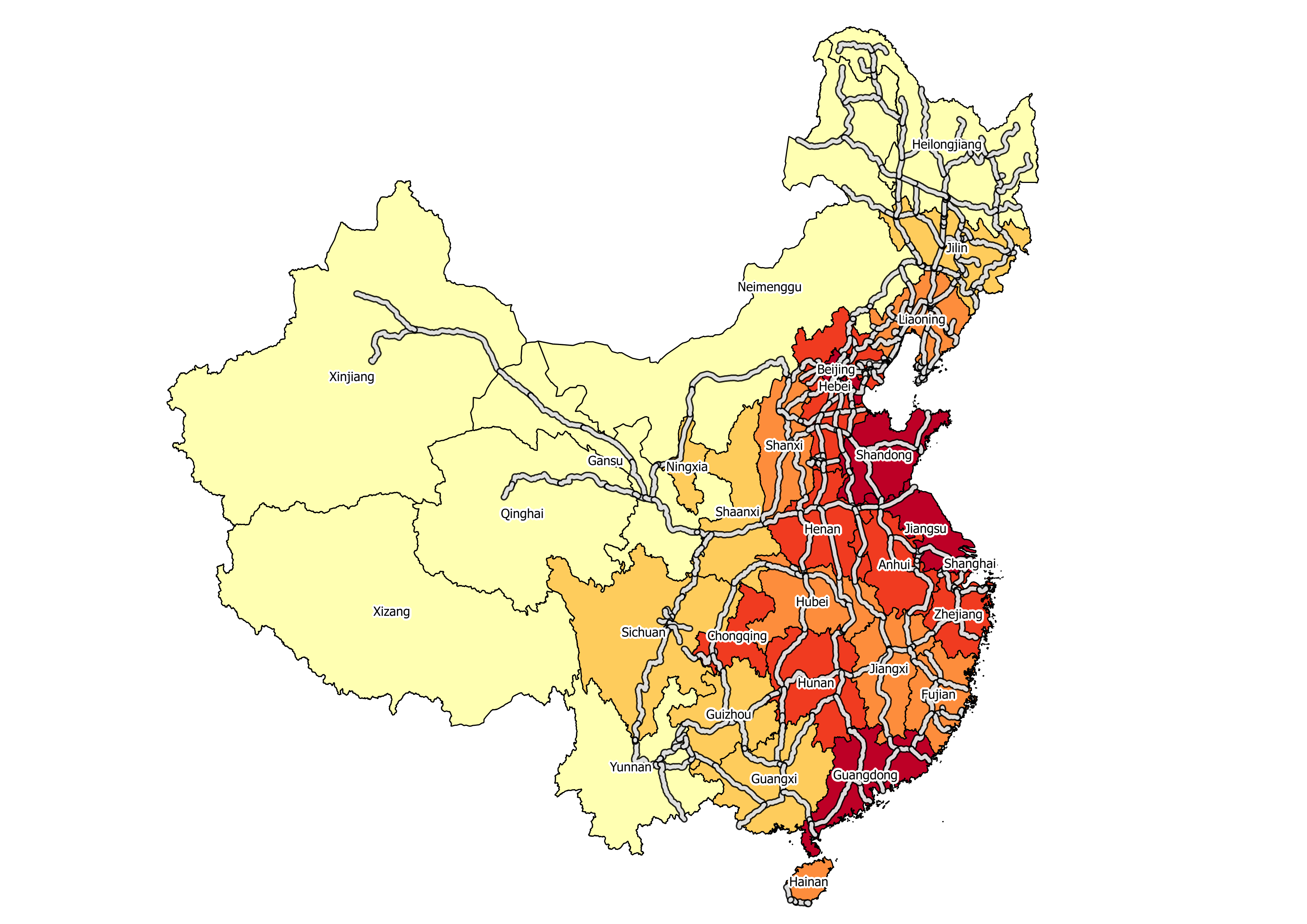
2000-2010 China Province Population Census Data
List of Variables (MS Excel) - Edition: Oct 25, 2012 Version I
| Name | Features | File Type | Year | File Name |
|---|
| Admin boundaries | polygons | shapefile | 2012 | chinaln.zip |
| Highways | lines | shapefile | 2012 | hiway.zip |
| Major Rivers | lines | shapefile | 2012 | driver.zip |
| Provinces & Population Data | polygons | shapefile | 2012 | CensusProv_2000_2010.zip |
| Provincial Trunk Roads | lines | shapefile | 2012 | sd.zip |
| Railways | lines | shapefile | 2012 | rail.zip |
| Rivers | lines | shapefile | 2012 | river.zip |
| State Roads | lines | shapefile | 2012 | gd.zip |
2009 China City Statistical Indicators
List of Variables (MS Excel)
| Name | Features | File Type | Year | File Name |
|---|
| Cities | points | shapefile | 2009 | map2009_CountyCity_point.zip |
| Cities | polygons | shapefile | 2009 | map2009_CountyCity_polygon.zip |
| City Data | | excel file | 2009 | CountyCity_2009_data.zip |
| Prefectures | points | shapefile | 2009 | map2009_prefecture_point.zip |
| Prefectures | polygons | shapefile | 2009 | map2009_prefecture_point.zip |
| Prefecture Data | | excel file | 2009 | Prefecture_2009_data.zip |
Historical China County Population Census Data
List of Variables (MS Excel) - Edition: Feb 10, 2005
| Name | Features | File Type | Year | File Name |
|---|
| Counties 1953 | polygons | shapefile | 2005 | china53.zip |
| County Data 1953 | | excel file | 2005 | county1953.zip |
| Counties 1964 | polygons | shapefile | 2005 | china64.zip |
| County Data 1964 | | excel file | 2005 | county1964.zip |
| Counties 1982 | polygons | shapefile | 2005 | china82.zip |
| County Data 1982 | | excel file | 2005 | county1982.zip |
| Counties 1990 | polygons | shapefile | 2005 | china90.zip |
| County Data 1990 | | excel file | 2005 | county1990.zip |
| Counties 2000 | polygons | shapefile | 2005 | china00.zip |
| County Data 2000 | | excel file | 2005 | county2000.zip |
| Provinces 1953 | polygons | shapefile | 2005 | prov53.zip |
| Province Data 1953 | | excel file | 2005 | province1953.zip |
| Provinces 1964 | polygons | shapefile | 2005 | prov64.zip |
| Province Data 1964 | | excel file | 2005 | province1964.zip |
| Provinces 1982 | polygons | shapefile | 2005 | prov82.zip |
| Province Data 1982 | | excel file | 2005 | province1982.zip |
| Provinces 1990 | polygons | shapefile | 2005 | prov90.zip |
| Province Data 1990 | | excel file | 2005 | province1990.zip |
| Provinces 2000 | polygons | shapefile | 2005 | prov00.zip |
| Province Data 2000 | | excel file | 2005 | province2000.zip |
Detailed 2000 Provincial Data
| Name |
|---|
| * 2000 Census Data with GRID Maps (includes township bndys, vector pop grid, and census data) |
| * 2000 County Census Data (similar to datasets listed above) |
| * 2000 Province Census Data (similar to datasets listed above) |
| * 2000 Township Census Data (includes township bndys, reference features, and census data) |
| * Historical County Census Data 1953-2000 (similar to datasets listed above) |
#trackbackRdf ($trackbackUtils.getContentIdentifier($page) $page.title $trackbackUtils.getPingUrl($page))
