
...
Datasets on this page were created by ML Infomap and represent city municipal limits and ward boundaries, which are subdivisions of cities. Attributes for population and housing Population attributes from the 2011 Census are included for each ward. The files were produced in Feb 2017 but represent boundaries and data for 2011. All files are projected in WGS 84. If you use this data, you must cite ML Infomap as the source.
Thanks go to to the CUNY Institute for Demographic Research for obtaining this data for the college.
City Municipal Wards
List of variables (MS Excel) - Sample is for Surat but attributes are the same for all cities.
| Name | Features | File Type | Year | Filename |
|---|---|---|---|---|
| Ahmedabad | polygon | shapefile | 2011 | AHMEDABAD.ZIP |
| Bangalore | polygon | shapefile | 2011 | BANGALORE.ZIP |
| Bhopal | polygon | shapefile | 2011 | BHOPAL.ZIP |
| Chennai | polygon | shapefile | 2011 | CHENNAI.ZIP |
| Delhi | polygon | shapefile | 2011 | DELHI.ZIP |
| Greater Mumbai | polygon | shapefile | 2011 | GREATER_MUMBAI.ZIP |
| Hyderabad | polygon | shapefile | 2011 | HYDERABAD.ZIP |
| Indore | polygon | shapefile | 2011 | INDORE.ZIP |
| Kolkata | polygon | shapefile | 2011 | KOLKATA.ZIP |
| Meerut | polygon | shapefile | 2011 | MEERUT.ZIP |
| Pune | polygon | shapefile | 2011 | PUNE.ZIP |
| Surat | polygon | shapefile | 2011 | SURAT.ZIP |
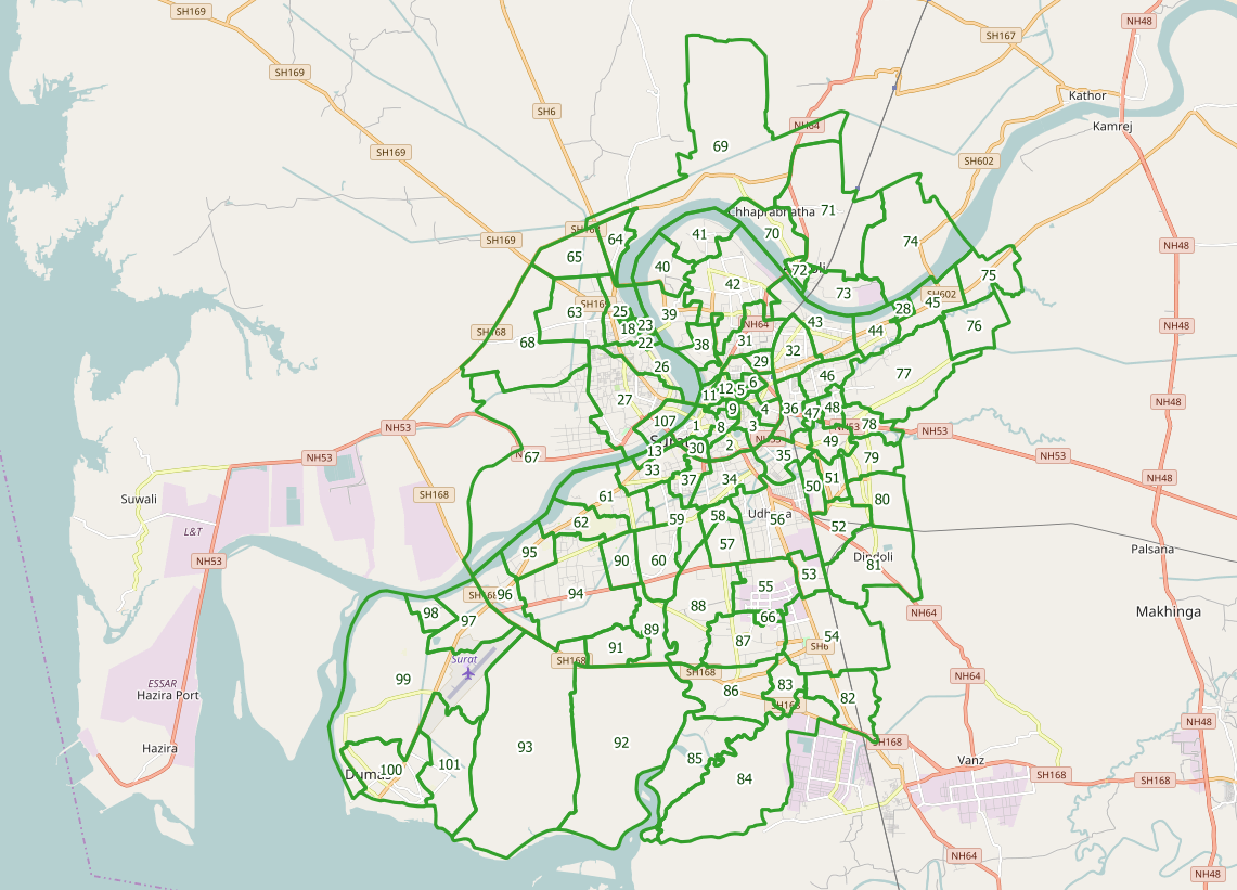 |
| Sample Map - Municipal Wards (in green) for Surat, India |