The Baruch Geoportal is a repository that provides geospatial data and resources. Many of these resources and datasets are publicly accessible, while some are restricted to Baruch College or CUNY affiliates.
- Datasets - GIS and tabular datasets available for download or by request
- Resources - tutorials, reference sources, crosswalks, and maps
- About Us - information about geospatial services and the GIS Lab at Baruch
|
| Panel |
|---|
| borderColor | Gray |
|---|
| bgColor | White |
|---|
| borderWidth | 1 |
|---|
| borderStyle | dashed |
|---|
|
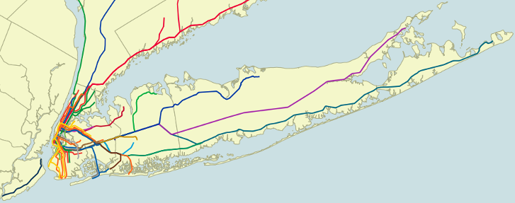 Image ModifiedNYC Mass Transit Spatial Layers Image ModifiedNYC Mass Transit Spatial Layers |
