
This tutorial is an addendum to the introductory GIS Practicum; it focusses on working with raster data in QGIS with an emphasis on elevation models and includes: downloading, tiling, and warping (re-projecting) DEMs and DRGs and creating hillshades and contour lines.
Anyone is welcome to use this tutorial under a Creative Commons Attribution Noncommercial No Derivative Works License, for personal or classroom use. You may NOT copy and re-host this material on another website.
Working with Raster Data in QGIS 1st edition (June 2014) | 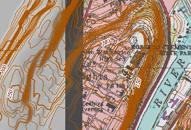 |
QGIS Software for Download
The tutorial was written for QGIS version 2.4 (Chugiak) and should work in all 2.x versions of QGIS. The most recent version of the software can be downloaded from the The QGIS website.